Agriculture in the Czech Republic is undergoing a remarkable transformation, moving from traditional farming practices to high-tech precision agriculture powered by artificial intelligence and geodata. This transition is helping Czech farmers address multiple challenges: increasing productivity while reducing environmental impact, adapting to climate change, and maintaining competitiveness in the European market. This article explores how AI and geodata technologies are being adopted across Czech farms and the impact they're having on agricultural practices.
The Agricultural Context in the Czech Republic
To understand the significance of precision agriculture in the Czech Republic, it's important to recognize the unique structure of the country's agricultural sector. Unlike many Western European countries with predominantly small family farms, Czech agriculture features a mix of very large agricultural enterprises (many evolved from former cooperatives) alongside medium and smaller operations.
According to the Czech Statistical Office, the average farm size in the Czech Republic is approximately 133 hectares, significantly larger than the EU average of about 16 hectares. This scale presents both challenges and opportunities for technology adoption:
- Larger operations have greater resources to invest in advanced technologies
- The scale makes the economic benefits of precision approaches more immediately apparent
- Large, contiguous fields are well-suited for automated machinery and remote sensing
- The heterogeneity within large fields creates opportunities for variable-rate applications
At the same time, Czech agriculture faces significant challenges, including soil degradation, water scarcity in some regions, and increasingly variable weather patterns associated with climate change. These factors have created strong incentives for farmers to adopt more precise and adaptive management approaches.
AI and Geodata Applications in Czech Agriculture
Soil Mapping and Analysis
The foundation of precision agriculture is detailed knowledge of soil conditions. Czech farmers are increasingly using AI-powered soil mapping technologies to understand spatial variations across their fields. The process typically involves:
- Data Collection: Combining electrical conductivity sensors, soil sampling, and historical yield data
- AI Analysis: Machine learning algorithms that identify patterns and correlations in the data
- Detailed Mapping: Creation of high-resolution soil property maps showing variations in texture, organic matter, pH, and nutrient levels
Companies like Agdata, based in Prague, have developed specialized soil mapping services for Czech farms. Their AI systems can integrate multiple data sources to create comprehensive soil maps that inform variable-rate application of fertilizers and amendments.

These detailed soil maps serve as the foundation for other precision agriculture applications, enabling farmers to target inputs precisely where they're needed rather than applying them uniformly across fields.
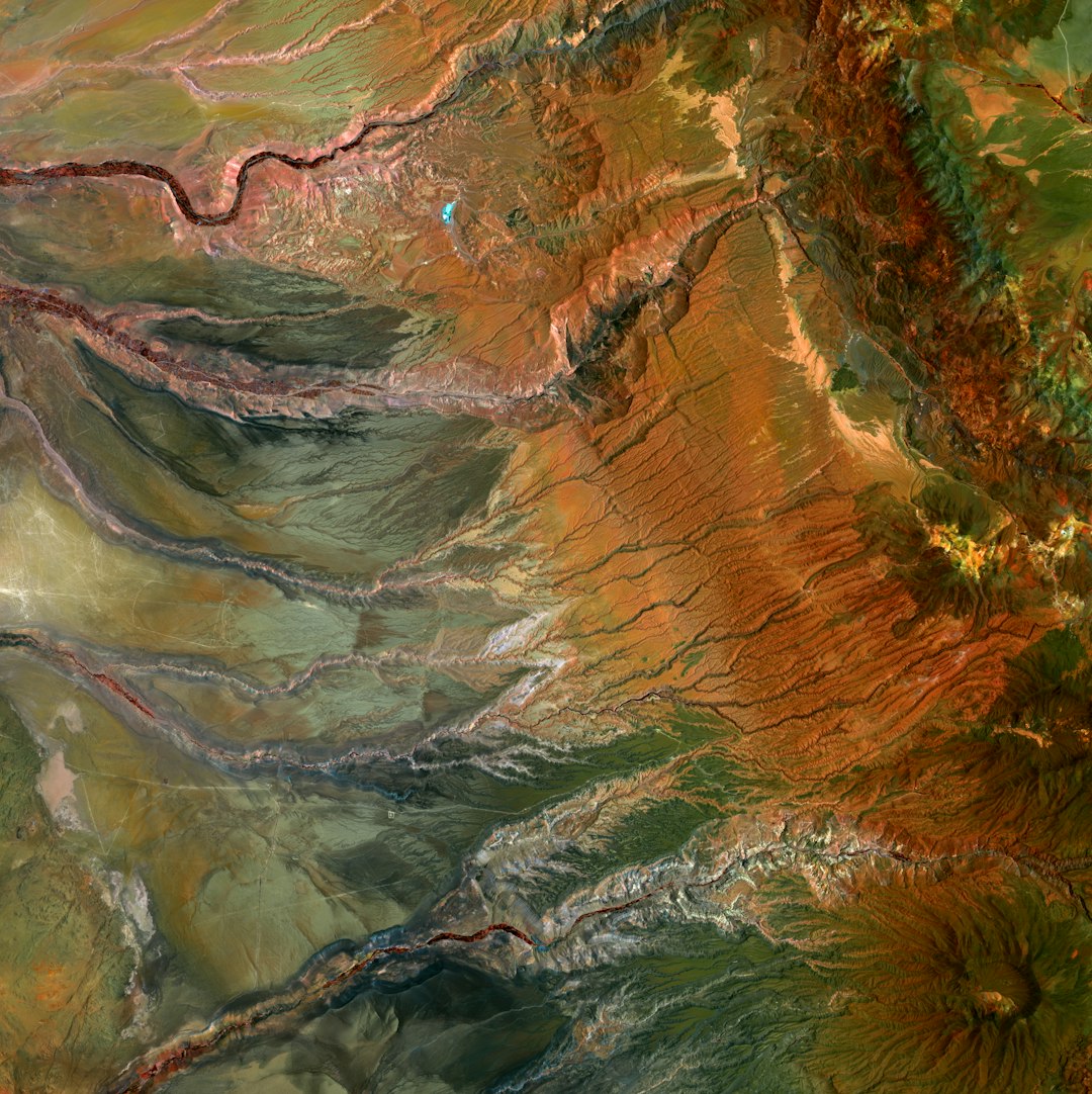
Satellite and Drone Imagery Analysis
Czech farmers are increasingly using AI to extract actionable insights from aerial and satellite imagery. The Czech Ministry of Agriculture, in partnership with the European Space Agency, has developed programs to make Sentinel satellite data more accessible to farmers. This imagery, combined with AI analysis, enables:
- Crop Health Monitoring: AI algorithms analyze multispectral imagery to detect early signs of plant stress, disease, or nutrient deficiencies before they're visible to the human eye
- Growth Stage Tracking: Automated identification of crop development stages to optimize timing of management operations
- Yield Prediction: Early-season estimates of potential harvest volumes based on vegetation indices and historical patterns
- Drought Stress Detection: Identification of areas experiencing water stress to guide irrigation decisions
For higher-resolution insights, many larger Czech farms are now using drone imagery analyzed by AI. Brno-based startup Skymaps offers specialized drone surveys for agriculture, using thermal and multispectral sensors to collect data that their AI platform converts into detailed prescription maps for variable-rate applications.
"The combination of drone imagery and AI analysis has completely changed how we manage our 1,500 hectares. We can now see problems three weeks before they would be visible to the naked eye, and we've reduced our fertilizer use by 23% while maintaining yields."
— Josef Novák, Farm Manager, Agro Moravany
Variable Rate Technology and Application Maps
The insights generated by soil mapping and imagery analysis are put into action through variable rate technology (VRT). Czech farms are increasingly adopting equipment that can vary application rates of seeds, fertilizers, and crop protection products based on prescription maps.
AI plays a critical role in generating these prescription maps by:
- Integrating multiple data layers (soil properties, crop health, yield potential)
- Identifying management zones with similar characteristics
- Determining optimal input rates for each zone based on crop requirements and economic factors
- Generating machine-readable application maps that control farm equipment
The adoption of VRT in the Czech Republic has been facilitated by the EU's Common Agricultural Policy subsidies for precision agriculture equipment. According to the Czech Association of Agricultural Technology, approximately 35% of large Czech farms now use some form of variable rate application technology, a figure that has doubled since 2018.
Weather Forecasting and Microclimate Monitoring
Climate variability presents a significant challenge for Czech agriculture. To address this, farmers are turning to AI-powered weather forecasting and microclimate monitoring systems that provide field-specific predictions and alerts.
Czech company Meteopress has developed an agricultural forecasting platform that uses machine learning to analyze data from a dense network of weather stations, combined with topographic data and historical patterns. The system provides:
- Field-specific forecasts with higher accuracy than general weather services
- Disease pressure models that predict the risk of specific crop diseases based on weather conditions
- Frost and heat stress warnings with specific timing for individual field locations
- Growing degree day calculations to optimize the timing of operations
These capabilities are particularly valuable in regions with varied topography, where general weather forecasts may not accurately represent conditions in specific fields.
Autonomous Machinery and Robotics
The large average farm size in the Czech Republic makes it an ideal testing ground for autonomous agricultural machinery. Several Czech farms are participating in European research projects testing autonomous tractors and specialized agricultural robots.
The Global Change Research Institute of the Czech Academy of Sciences, in partnership with commercial farms, is testing AI-guided autonomous equipment that can:
- Follow optimal paths through fields based on soil conditions and compaction risk
- Identify and selectively treat weeds, reducing herbicide use
- Perform detailed crop scouting, collecting high-resolution data on crop conditions
- Operate continuously during critical weather windows, maximizing operational efficiency

While fully autonomous machinery is still in the testing phase, many Czech farms already use semi-autonomous systems with AI-assisted guidance and operations. These systems improve precision in field operations while reducing operator fatigue.
Irrigation Management Systems
Parts of the Czech Republic, particularly in South Moravia, face increasing water scarcity issues. AI-powered irrigation management systems are helping farmers use water more efficiently while maintaining crop productivity.
These systems typically combine:
- Soil moisture sensors distributed across fields
- Weather data and evapotranspiration models
- Crop water requirement calculations
- Machine learning algorithms that optimize irrigation timing and amounts
The AI component continuously learns from the outcomes of previous irrigation decisions, adapting strategies based on observed crop responses and changing conditions. Some systems also incorporate water availability forecasts and regulations to ensure sustainable use of water resources.
Case Studies: AI and Geodata in Action
Agrodružstvo Zábřeh: Precision Viticulture
This cooperative in the South Moravian wine region has implemented a comprehensive precision viticulture system using AI and geodata. Their approach includes:
- Detailed soil mapping of their 120 hectares of vineyards
- Weekly drone surveys during the growing season
- AI analysis of multispectral imagery to detect early signs of powdery mildew and other diseases
- Variable rate application of nutrients based on soil and plant needs
- Microclimate monitoring with a network of wireless sensors
Since implementing this system in 2020, they have reduced fungicide applications by 35% while improving wine quality and consistency. The AI system has proven particularly valuable in identifying subtle differences in ripening patterns across their vineyards, allowing for more precise harvest timing.
ZD Unčovice: Large-Scale Arable Farming
This 3,500-hectare operation near Olomouc has embraced AI and geodata technologies across their diverse crop production system. Their implementation includes:
- Automated field boundary mapping using AI analysis of satellite imagery
- Zone management based on multi-year yield data and soil mapping
- Variable rate application of fertilizers guided by AI-generated prescription maps
- Satellite-based crop monitoring integrated with their farm management software
- AI-powered pest and disease prediction models
The farm reports a 18% reduction in nitrogen fertilizer use since implementing these technologies, with stable or improved yields. The economic benefits have been significant, with a positive return on investment achieved within two years of implementation.
Farma Kožichovice: Medium-Scale Organic Production
This 280-hectare organic farm has adapted AI and geodata technologies to meet the specific challenges of organic production. Their system focuses on:
- Early detection of weed pressure through AI analysis of drone imagery
- Optimized timing of mechanical weed control operations based on growth stage analysis
- Monitoring of soil organic matter and biological activity
- Cover crop management optimized through AI recommendations
- Natural enemy population monitoring to support biological pest control
The farm has found that AI-powered imagery analysis is particularly valuable for organic systems, where early intervention is critical for weed and pest management. They've reduced labor costs by 25% while improving the consistency of their organic production.
Challenges and Limitations
Despite the promising results, several challenges have emerged in the adoption of AI and geodata technologies in Czech agriculture:
- Initial Investment Costs: While larger farms can often justify the investment, smaller operations may struggle with the upfront costs of precision technology.
- Technical Expertise: Many farmers lack the specialized knowledge needed to fully utilize AI and geodata tools, creating a need for training and advisory services.
- Connectivity Issues: Rural internet infrastructure in parts of the Czech Republic may not support real-time data transfer needed for some applications.
- Integration Challenges: Farmers often face difficulties in integrating different technologies and data sources into a cohesive management system.
- Data Ownership and Privacy: Questions about who controls agricultural data and how it can be used remain unresolved in many cases.
To address these challenges, the Czech Ministry of Agriculture has established a Digital Agriculture Innovation Hub that provides training, demonstration projects, and technical support for farmers adopting precision technologies.
Future Directions
Looking ahead, several emerging trends are likely to shape the continued evolution of AI and geodata applications in Czech agriculture:
Collaborative Data Platforms
To overcome the limitations of individual farm data sets, collaborative platforms are emerging that allow farmers to share anonymized data. These platforms use AI to extract broader patterns and insights that benefit all participants while protecting individual privacy.
Integration with Carbon Markets
As carbon markets develop, AI and geodata technologies are enabling Czech farmers to quantify carbon sequestration in their soils. This creates new revenue opportunities through carbon credits while promoting sustainable practices.
Advanced Predictive Analytics
The next generation of agricultural AI systems will move beyond monitoring current conditions to predicting future outcomes with greater accuracy. These systems will integrate climate projections, market data, and farm-specific information to support complex decision-making.
Democratization Through Simpler Tools
To expand adoption beyond large farms, developers are creating more accessible AI tools that require less technical expertise. Mobile applications with intuitive interfaces are making precision agriculture techniques available to smaller operations.
Conclusion
The adoption of AI and geodata technologies in Czech agriculture represents a significant evolution in farming practices. These approaches are helping farmers address multiple challenges simultaneously: improving productivity, reducing environmental impact, and adapting to changing climate conditions.
While the transition to precision agriculture is still in progress, early results from Czech farms demonstrate the potential for these technologies to create more sustainable and profitable agricultural systems. As the technologies continue to mature and become more accessible, their impact on Czech agriculture is likely to grow, potentially establishing the country as a leader in data-driven farming practices within Central Europe.
The experiences of Czech farmers offer valuable lessons for agricultural regions around the world that are considering similar technological transitions. Their practical implementations show how AI and geodata can be effectively integrated into diverse farming operations, from large-scale arable farms to specialized organic producers, creating benefits for both farmers and the environment.