The Czech Republic has a long history of excellence in cartography and geodesy, dating back several centuries. Today, this tradition continues with cutting-edge applications of artificial intelligence in geodata collection, processing, and analysis. In this article, we explore how AI is transforming mapping and geodata management across the country, creating new opportunities for urban planning, infrastructure development, and environmental monitoring.
The Evolution of Geodata Collection in the Czech Republic
Until recently, geodata collection in the Czech Republic relied heavily on traditional methods: field surveys, manual digitization of maps, and basic satellite image analysis. While these methods have served the country well, they have limitations in terms of speed, cost, and the ability to capture rapidly changing environments.
The Czech Office for Surveying, Mapping and Cadastre (ČÚZK) has been at the forefront of adopting new technologies, and in recent years has embraced AI as a transformative tool. The integration of AI into geodata workflows has allowed for more efficient data collection, improved accuracy, and the ability to extract insights that were previously impossible to obtain.
AI-Powered Aerial and Satellite Imagery Analysis
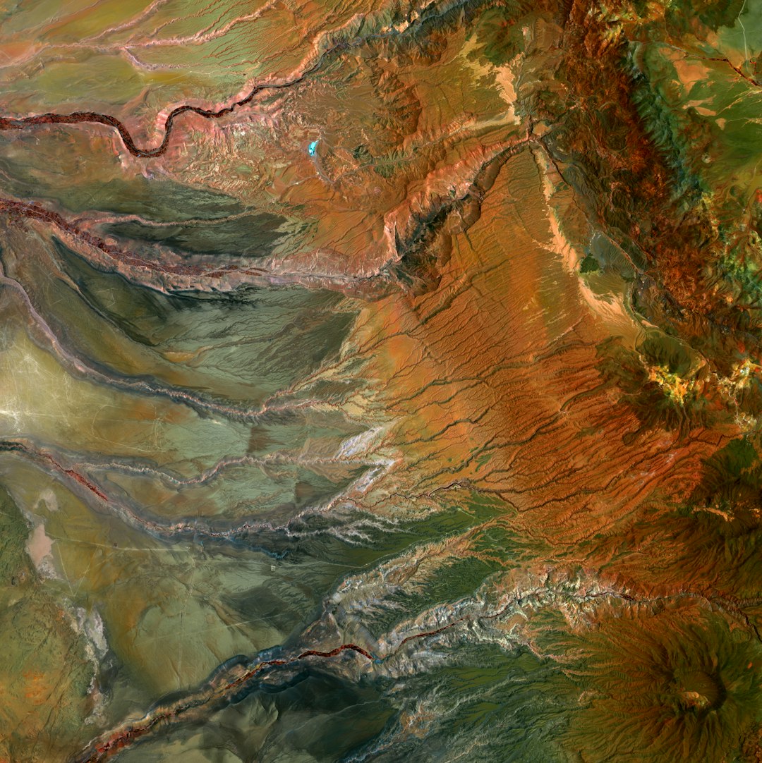
One of the most significant applications of AI in Czech geodata is the automated analysis of aerial and satellite imagery. Czech mapping agencies and private companies are using deep learning algorithms to automatically detect and classify features such as:
- Buildings and their types (residential, commercial, industrial)
- Road networks and transportation infrastructure
- Vegetation and forest cover
- Water bodies and hydrological features
- Land use changes over time
The Czech Technical University in Prague has developed specialized neural network architectures that are particularly effective at recognizing the unique architectural and urban patterns of Czech cities and towns. These AI systems can process vast amounts of imagery in a fraction of the time it would take human analysts.
"AI has reduced our time for nationwide building detection from months to days, while simultaneously improving accuracy from 85% to 98%. This represents a paradigm shift in how we create and update maps."
— Karel Brázdil, Director of Remote Sensing Department, ČÚZK
LiDAR Data Processing with AI
Light Detection and Ranging (LiDAR) technology has become an essential tool for creating high-precision 3D models of terrain and built environments. The Czech Republic has completed several nationwide LiDAR surveys, generating massive point cloud datasets that were traditionally challenging to process efficiently.
AI algorithms are now being applied to automatically classify LiDAR points into categories such as ground, vegetation, buildings, and infrastructure. This automated classification dramatically speeds up the creation of detailed 3D models of Czech cities and landscapes. Companies like GeoData s.r.o. have developed specialized AI tools that can distinguish between different architectural styles and identify historical buildings from LiDAR data alone.
Real-time Mapping with Mobile and Drone Data
The proliferation of mobile devices and drones has created new opportunities for real-time geodata collection. Czech startups are developing AI systems that can process imagery from multiple sources to create continuously updated maps.
In Prague, an experimental system uses dashcam footage from city vehicles combined with AI analysis to detect changes in street infrastructure, road conditions, and signage. This allows the city to maintain more accurate and current maps while reducing the need for dedicated survey teams.
Similarly, agricultural drones equipped with multispectral cameras and AI processing capabilities are being used in rural areas to map crop health, soil conditions, and irrigation patterns, supporting precision farming initiatives.
Practical Applications in Urban Planning
The city of Brno has pioneered the use of AI-processed geodata for urban planning and development. Their "Digital Twin" project combines traditional GIS data with AI-analyzed imagery and sensor data to create a comprehensive digital model of the city that can be used for:
- Simulating traffic patterns under different conditions
- Predicting the impact of new developments on sunlight, wind, and visibility
- Modeling flood risks and emergency evacuation scenarios
- Planning green infrastructure to maximize environmental benefits
- Optimizing energy efficiency across the urban landscape

Infrastructure Management and Monitoring
Czech infrastructure companies are increasingly using AI-powered geodata solutions to monitor and maintain critical assets. ČEZ, the country's largest utility company, uses machine learning algorithms to analyze satellite and aerial imagery to detect vegetation encroachment on power lines. This proactive approach helps prevent outages and reduces maintenance costs.
Similarly, the Czech Railway Infrastructure Administration employs AI to process mobile LiDAR scans of railway corridors, automatically identifying issues such as track deformations, vegetation overgrowth, and unstable slopes that could pose safety risks.
Challenges and Limitations
Despite the impressive advances, AI-powered geodata technologies in the Czech Republic still face several challenges:
- Data Privacy Concerns: As with any data collection technology, there are legitimate concerns about privacy, particularly when high-resolution imagery of private property is involved.
- Algorithm Transparency: Many AI systems function as "black boxes," making it difficult to understand how they reach specific conclusions, which can be problematic for official mapping applications.
- Skill Gaps: There's a shortage of specialists who understand both geospatial science and artificial intelligence, creating bottlenecks in implementation.
- Integration with Legacy Systems: Many Czech organizations still use older GIS systems that aren't designed to work seamlessly with AI tools.
The Czech Association for Geoinformation (CAGI) has established working groups to address these challenges, developing best practices and standards for AI implementation in geodata applications.
Future Directions
Looking ahead, several emerging trends are likely to shape the continued evolution of AI in Czech geodata:
- Edge Computing: Processing geodata directly on collection devices (drones, mobile phones, IoT sensors) will enable real-time mapping in areas with limited connectivity.
- Federated Learning: This approach allows AI models to be trained across multiple organizations without sharing sensitive data, potentially addressing some privacy concerns.
- Multimodal AI: Systems that can integrate different types of data (imagery, point clouds, sensor readings, text descriptions) will provide more comprehensive analysis capabilities.
- Citizen Science: AI tools that can validate and incorporate geodata collected by citizens will expand the scope and currency of mapping efforts.
Conclusion
The integration of artificial intelligence with geodata collection and analysis represents a significant evolution in the Czech Republic's mapping tradition. From urban planning to infrastructure management, these technologies are enabling more efficient, accurate, and insightful use of geographic information.
As AI continues to advance, and as more organizations across the Czech Republic adopt these tools, we can expect to see even more innovative applications that leverage the country's rich geospatial data resources to address complex challenges in urban development, environmental management, and infrastructure planning.